Retrouvez toutes nos publications scientifiques, nos articles de recherche et nos notes techniques sur la détection de la foudre et de l’orage.
Voir tout
Notes techniques
Publications scientifiques
Notes techniques
21-04-2026
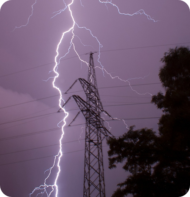
WindEurope 2026 PO193 — De l’alerte orage aux inspections ciblées: une approche Avant–Pendant–Après pour la gestion du risque foudre en exploitation éolienne
Publications scientifiques
16-04-2025
Analyse de 10 ans d’accidentologie humaine par la foudre en France et en Europe (La Météorologie)
Publications scientifiques
14-03-2025
WindEurope Tech Workshop – Maintenance préventive des éoliennes, usages et bénéfices des données sur la foudre
Publications scientifiques
14-03-2025
Nature Communications – Electromagnetic power of lightning superbolts from Earth to space
Publications scientifiques
14-03-2025
ICLEASM – Systèmes d’alerte aux orages dans les pays en développement
Notes techniques
14-03-2025
Ellipse de confiance
Notes techniques
23-06-2023
Mise à jour V4.1 du GLD360
Publications scientifiques
01-06-2021
European Geosciences Union – Global ground strike point characteristics in negative downward lightning flashes
Notes techniques
08-12-2020
Mise à jour V4 du GLD360
Publications scientifiques
01-12-2019
CIGRE ICLPS – Données foudre et performances des systèmes de localisation recommandées par IEC 62858
Notre expertise au service de votre prévention des risques
Depuis 1987, nous avons acquis une solide réputation mondiale pour la qualité et l’utilité de nos services de données sur la foudre. Nous apportons à nos clients et à nos partenaires une information foudre inégalée.
Grâce à nos 4 000 utilisateurs, nous savons fournir des solutions adaptées finement aux besoins de chaque métier, comme le démontre notre taux de 98% de renouvellement à nos services. Nos services sont gérés, développés et supervisés uniquement en interne, par notre équipe technique.